How you can use this image
This image can be used for non-commercial research or private study purposes, and other UK exceptions to copyright permitted to users based in the United Kingdom under the Copyright, Designs and Patents Act 1988, as amended and revised. Any other type of use will need to be cleared with the rights holder(s).
Review the copyright credit lines that are located underneath the image, as these indicate who manages the copyright (©) within the artwork, and the photographic rights within the image.
The collection that owns the artwork may have more information on their own website about permitted uses and image licensing options.
Review our guidance pages which explain how you can reuse images, how to credit an image and how to find images in the public domain or with a Creative Commons licence available.
Notes
Add or edit a note on this artwork that only you can see. You can find notes again by going to the ‘Notes’ section of your account.
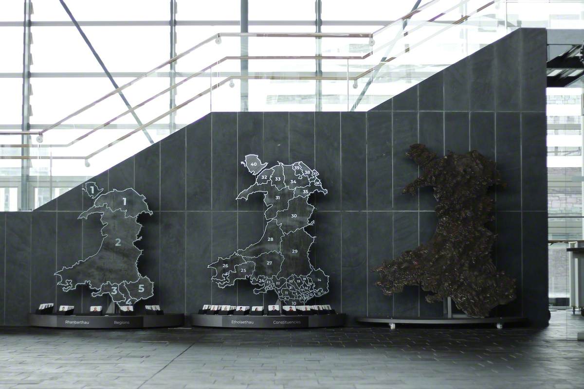
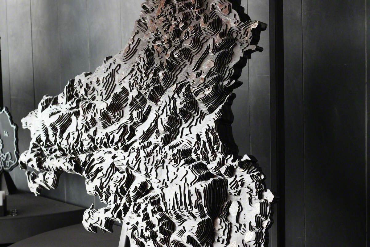
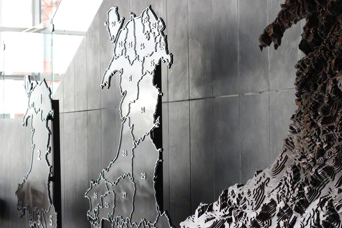
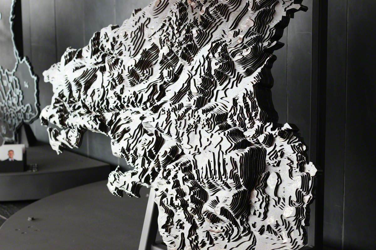
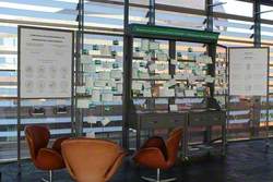
Two of the maps encourage people to discover the Senedd’s constituencies and regional boundaries, and the Members who represent them. The third map is a striking work of art which celebrates Wales’ landscape, as mountains, hills and valleys form waves on the surface. Artist's comments: 'Technically, the largest map was a challenge because of all the layers of sheet steel needed to build up the mountains and landscape. Each sheet is individually cut, and care is needed to find each piece and place them together to gradually build up the mountain peaks and form the valleys.' The sculpture weighs a quarter of a tonne and measures two meters width by a little over two metres in height. It is set on wheels so it can be displayed in other parts of the Senedd, and people are encouraged to touch the steel, to feel the mountain ranges and follow the route of the valleys and the dramatic coastline.
Mae dau o’r mapiau yn annog pobl i ddysgu am ffiniau etholaethau a rhanbarthau’r Senedd, ac am yr Aelodau sy’n eu cynrychioli. Mae’r trydydd map yn ddarn o gelf trawiadol sy’n dathlu tirwedd Cymru wrth i fynyddoedd, bryniau a dyffrynnoedd ffurfio tonnau ar wyneb y gwaith.
Sylwadau’r artist: 'Yn dechnegol, roedd y map mwyaf yn heriol oherwydd yr haenau o ddur dalennog roedd eu hangen i greu’r mynyddoedd a’r dirwedd. Cafodd pob dalen ei thorri’n unigol, ac roedd angen bod yn ofalus wrth eu dewis a’u rhoi wrth ei gilydd cyn eu gosod yn eu trefn i adeiladu’r mynyddoedd a chreu’r dyffrynnoedd.' Mae’r cerflun yn pwyso chwarter tunnell, ac yn mesur dau fetr o led ac ychydig dros ddau fetr o daldra. Mae wedi’i osod ar olwynion, er mwyn medru ei arddangos mewn gwahanol rannau o’r Senedd, a chaiff pobl eu hannog i gyffwrdd â’r dur, i deimlo’r cadwyni o fynyddoedd a dilyn llwybr y dyffrynnoedd a’r arfordir dramatig. 'Rwy’n teimlo fy mod i wed i dod i adnabod a gwerthfawrogi Cymru, pob modfedd ohoni, a’i gweld hi o’r newydd,' meddai Angharad. 'Gobeithio y bydd pobl yn teimlo'r un fath ac yn gwerthfawrogi prydferthwch y tir, y mynyddoedd a siâp y wlad mewn ffordd nad ydi’n bosibl ar fap neu sat nav.
Title
Tri Map o Gymru / Three Maps of Wales
Date
2020
Medium
steel
Measurements
H 190 x W 180 x D 100 cm
Accession number
SC005
Acquisition method
commissioned
Work type
Sculpture
