How you can use this image
This image can be used for non-commercial research or private study purposes, and other UK exceptions to copyright permitted to users based in the United Kingdom under the Copyright, Designs and Patents Act 1988, as amended and revised. Any other type of use will need to be cleared with the rights holder(s).
Review the copyright credit lines that are located underneath the image, as these indicate who manages the copyright (©) within the artwork, and the photographic rights within the image.
The collection that owns the artwork may have more information on their own website about permitted uses and image licensing options.
Review our guidance pages which explain how you can reuse images, how to credit an image and how to find images in the public domain or with a Creative Commons licence available.
Notes
Add or edit a note on this artwork that only you can see. You can find notes again by going to the ‘Notes’ section of your account.
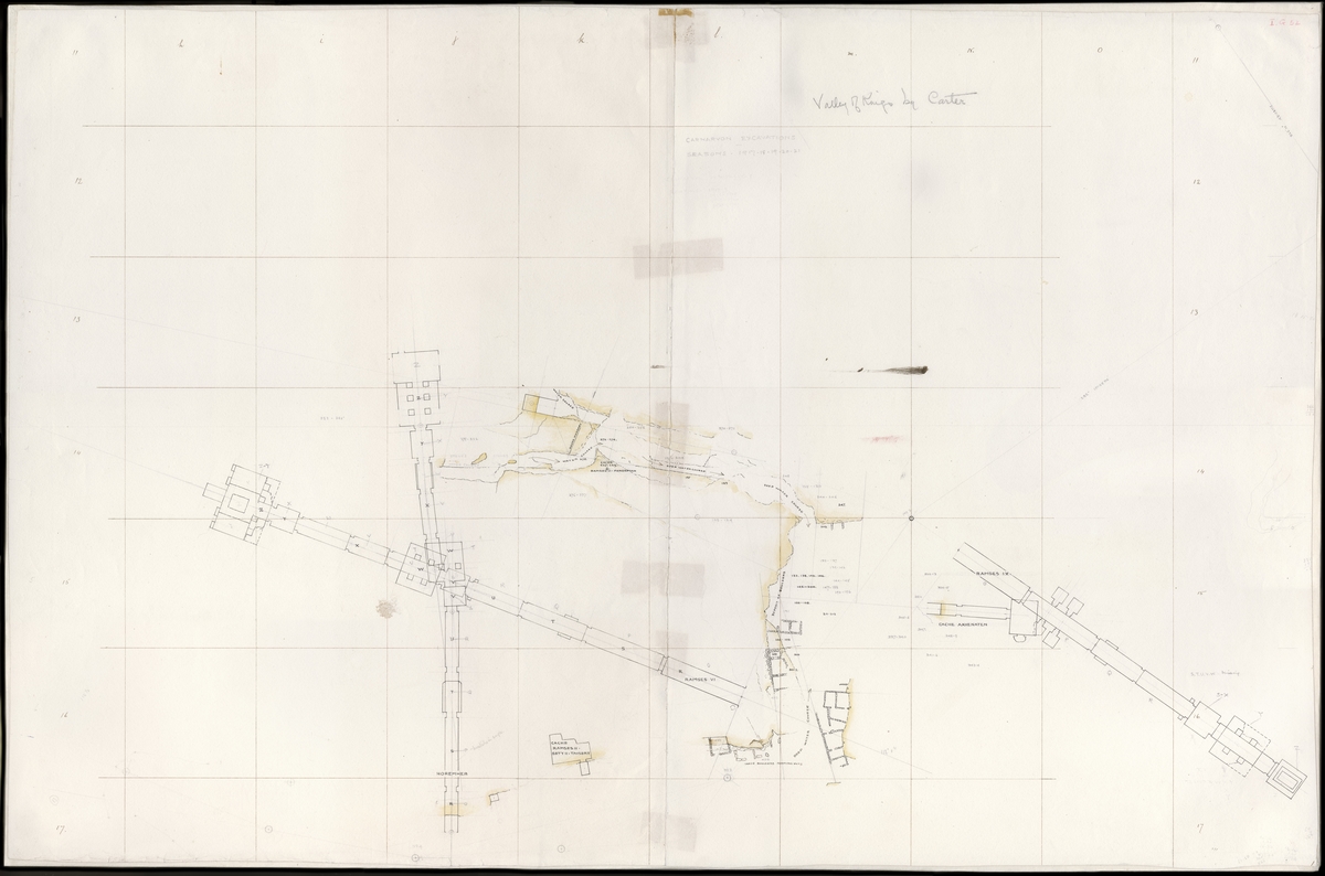
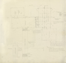
Howard Carter's map charts Lord Carnarvon's concession in the eastern part of the Valley of the Kings in Thebes, located on the east side of the Nile, opposite Luxor. Carter drew and updated the map during their excavations in the Valley between 1917 and 1922. Over a pencilled grid of referenced squares, he plotted in ink the plans of the known royal tombs and other features while highlighting geological features and landmarks in yellow. He updated it as he methodically worked along the valley floor, excavating down to the bedrock. Carter later claimed that, in the summer of 1922, after five years of work in the Valley, the Earl's enthusiasm for continuing the excavations began to wane due to the expense and the small number of finds. This map supported Carter's argument for one more season, during which he would clear the few remaining map squares below the tomb of Ramesses VI. The entrance of Tutankhamun's tomb lay concealed below the ancient workers' huts marked on the map [L and M, 15 and 16]. At the beginning of the 1922–1923 season, after the Egyptian workers removed these huts and valley floor detritus, they revealed the tomb's first steps on 4 November 1922.
Title
Howard Carter's Map for the Valley of the Kings
Date
1917–1922
Medium
ink, pencil & watercolour on paper
Measurements
H 65.9 x W 99.6 cm
Accession number
Carter MSS i.G.52
Acquisition method
gift, 1955
Work type
Architectural model or plan
Signature/marks description
Carter annotations include:CARNARVON EXCAVATIONSSEASONS . 1917-18-19-20-21Annotation added later, by unknown hand:Valley of Kings by Carter
-
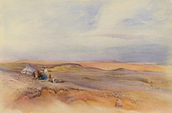 Howard Carter's Camp in the Desert at Thebes Griffith Institute, University of Oxford
 -
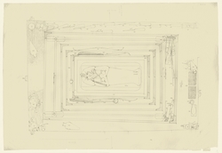 Tutankhamun's Burial chamber Griffith Institute, University of Oxford
 -
 Howard Carter's Map for the Valley of the Kings Griffith Institute, University of Oxford
 -
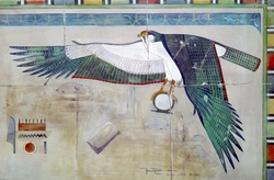 Horus Falcon Griffith Institute, University of Oxford
 -
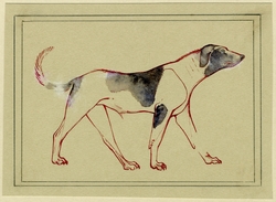 An Ancient Egyptian Dog Griffith Institute, University of Oxford
 -
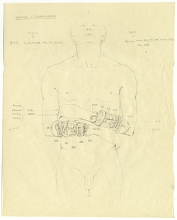 Tutankhamun's Bracelets Griffith Institute, University of Oxford
 -
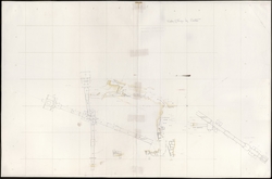
 Howard Carter's Plan for Tutankhamun's Tomb Griffith Institute, University of Oxford